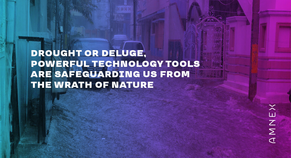
Natural disasters strike with little or no warning. However, technology has helped us uncover the secrets behind calamities such as drought, cyclones and floods. The more we understand it, the better equipped we are to face it. Monsoon 2020 is the recent example. Heavy rainfall is lashing several parts of India. Bihar, Madhya Pradesh and Odisha have been the worst affected states. Reservoirs are overflowing, so are the worries of various government departments. Since agriculture in India is still highly dependent on seasonal rains, lakhs of farmers are at the mercy of nature.
Water-related natural disasters leave a deep impact on the environment, wildlife, local economies and agriculture-related activities. Technology is helping us monitor them and thus mitigating the damage to some extent. Remote Sensing and GIS technologies have made an important contribution in various phases of drought and flood management by generating warnings in advance, aiding post damage assessment and relief operations. The data provided by satellites is helping us monitor and assess the damage. On the other hand, GIS makes decision making for the government extremely easy by assimilating, analysing and displaying data in the form of maps. Thanks to these advanced technologies, it has become easier for the government to carry out target specific relief operations in the affected regions.
The Amnex GIS team assists the Government of Gujarat in providing the crop condition assessments by using geospatial techniques which can in a way also help in drought monitoring. Remote-sensing based indices helped the government department in checking the status of vegetation health. Satellite platform helped in observing the vegetation from a unique vantage view and gave an insight into the dynamics of the vegetation. The data of current crop condition in comparison to historic maximum and minimum were brought at the fingertips of the authorities of various government departments for effective and informed decision making.
While above-mentioned states were ravaged by natural disasters like floods, technology is helping the government manage situations by mapping the extent of flood hazard and such analysis was attempted in the case of Assam and Bihar. Radar data such as the Sentinel-1 SAR imagery provided by the European Space Agency (ESA) has made the assessment of flooded areas possible. This crucial information can help the government in rapidly planning disaster response and management. Advanced technology is helping the government closely monitor the affected area, assess the damage caused to agriculture and infrastructure and prepare a powerful strategy for relief operations. In addition to this, flood assessment can help the government and insurance companies to understand the magnitude of the calamity and compensate the farmers accordingly.
At Amnex, we take inspiration from nature to design solutions that are intuitive and intelligent. That very intuitiveness has inspired us to design solutions that become our protective gear when nature’s fury strikes hard.