

Geospatial Engineering
Connecting Coordinates, Creating Future.
Precision. Progress. Geospatial
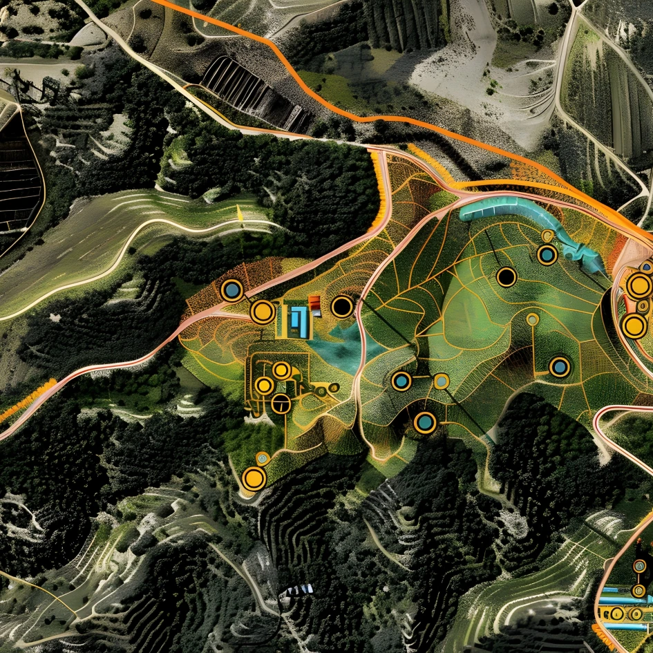
The way we understand and utilize geographic data has evolved tremendously, from early mapping techniques to today’s advanced geospatial technologies. Combining tools like GIS, remote sensing, and LiDAR, geospatial technology transforms complex data into actionable insights. At AMNEX, we use these innovations to empower industries with smarter decision-making, optimize resource management, and create sustainable solutions. Whether it’s reimagining urban spaces, monitoring the environment, or preparing for natural disasters, our geospatial expertise helps shape a more connected, resilient future.
Precision in Every Pixel, Insight in Every Map.
Mobility
Geospatial technology is transforming mobility by integrating spatial data with advanced tools like GIS and GPS. It enables smarter route optimization, real-time transit tracking, and dynamic traffic management, making transportation more reliable and efficient. Commuters gain accurate, real-time information, while fleet operators improve performance through better resource allocation and predictive maintenance, driving safer, sustainable mobility solutions.
Agriculture
Fueling precision in agriculture, this technology harnesses satellite imaging, GIS, and advanced mapping to deliver actionable insights on crop health, soil composition, and irrigation planning. It empowers farmers and policymakers to optimize resource use and boost yields. By supporting sustainable practices, these solutions are helping agriculture evolve into a resilient, future-ready industry equipped to meet global demands.
Urban Solutions
Geospatial technology is making cities smarter and more sustainable by optimizing land use, utilities, and transportation networks. Amnex uses GIS to enhance public transport, waste collection, and emergency response, ensuring seamless operations and efficient resource management. By transforming complex data into actionable insights, Amnex empowers cities to build resilient infrastructure and foster stronger community connections.
Mining
Bringing precision and responsibility to mining operations, this technology combines IoT data, GIS, and advanced mapping to enable smarter mine planning, optimized resource allocation, and accurate boundary regulation. Satellite imaging supports environmental assessments by tracking land use and vegetation changes, while GIS-based mineral reserve mapping improves planning and promotes sustainable practices. The result is a more efficient, environmentally conscious approach to modern mining.