



Logistics

Mapping the Future
Transforming Port Operations with Geospatial Intelligence
Business Background
A leading maritime authority managing multiple ports was facing challenges in efficiently monitoring coastal assets, port infrastructure, and navigational channels. The absence of advanced spatial intelligence made it difficult to maintain accurate mapping of underwater depth profiles, land areas, and critical port assets. To enhance operational visibility, security, and navigational safety, the organization needed a technology-driven solution leveraging geospatial data and mapping capabilities.
Amnex Solution
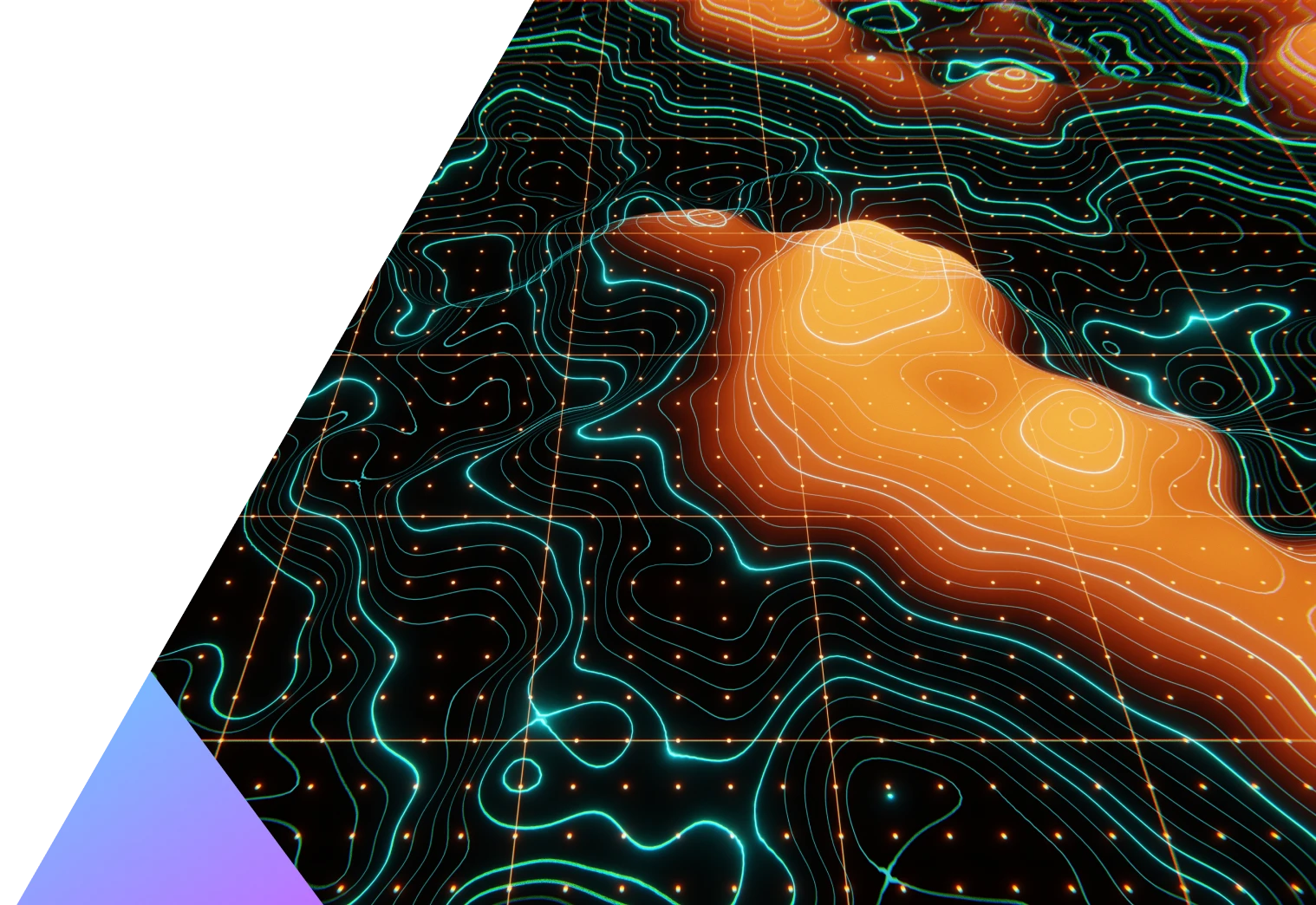
Amnex implemented a comprehensive geospatial mapping solution, integrating advanced technologies like LiDAR, DGPS, and bathymetric surveys. The project began with a Ground Control Points (GCP) survey using DGPS to geo-reference LiDAR point cloud data. LiDAR and bathymetric surveys provided accurate 3D terrain data and underwater seabed profiles. This data was combined with high-resolution satellite imagery, resulting in detailed Digital Surface Models and bathymetric charts. Key features like port boundaries, jetties, open spaces, and railways were mapped to give the authority precise, actionable insights for improved port management.
Impact
Operational Efficiency
Accurate mapping optimized resource management and port operations.
Infrastructure Visibility
3D mapping supported better maintenance and expansion planning.
Safer Navigation
Updated charts reduced risks and ensured smooth vessel movements.
Environmental Planning
Geospatial data enabled monitoring of coastal erosion and urban growth.
Urban Development
Detailed maps improved planning for utilities, roads, and railways.
Collaborative Decision-Making
Real-time insights enhanced coordination among all the stakeholders.



