



bLOG

India’s Roads Are Becoming Data Platforms
Admin – 05/08/2026
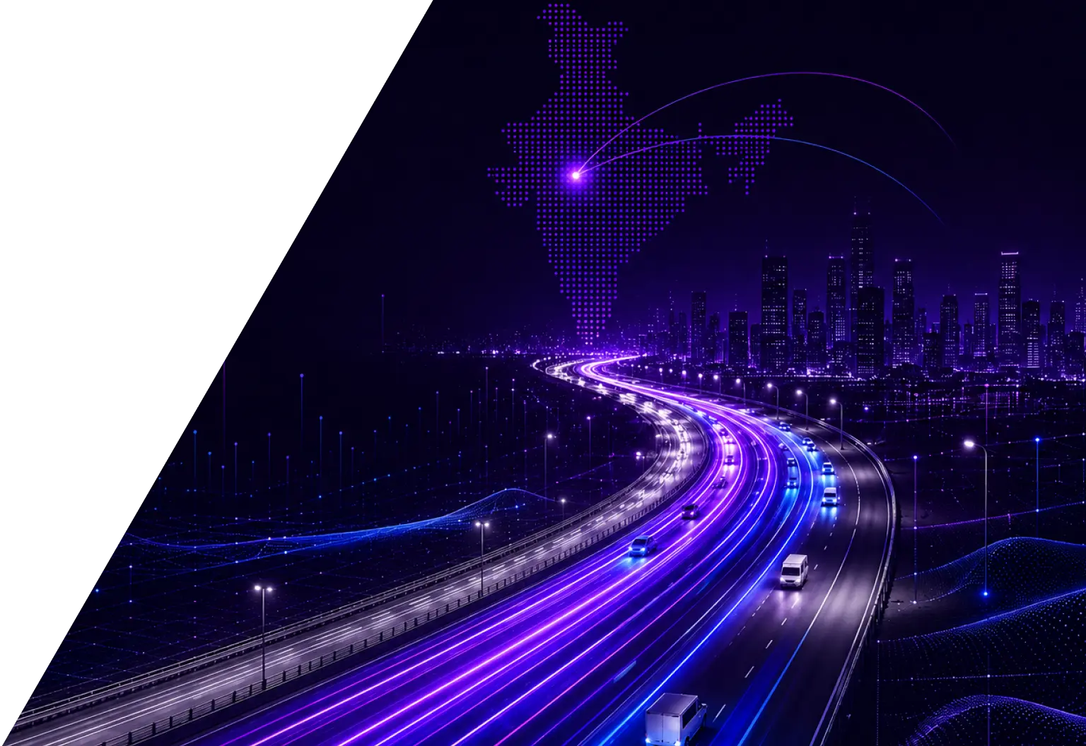
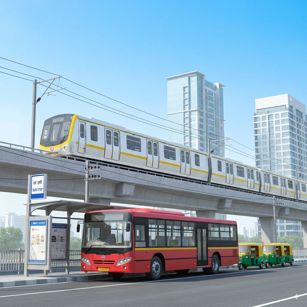
India’s urban mobility challenges are growing in scale and complexity. In FY 2024-25, India registered 25.5 million vehicles, a trend that continues to accelerate, and the consequences are visible on every urban road. For example, during weekdays, Delhi experiences significant slowdowns during both the morning and evening peak hours.
Expanding city boundaries and rising expectations for safety and efficiency are putting unprecedented pressure on infrastructure that was never designed for this volume or complexity. Traditionally, roads have been viewed as physical assets – built, maintained, and expanded to accommodate demand. But that understanding is evolving. Today, roads are emerging as intelligent, data-driven platforms that enable cities to monitor, manage, and optimize mobility in ways that were simply not possible before.
The Data Layer Roads Are Generating
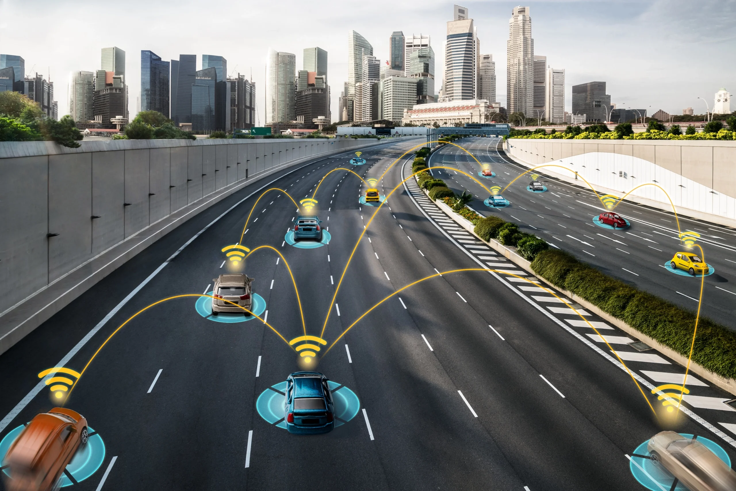
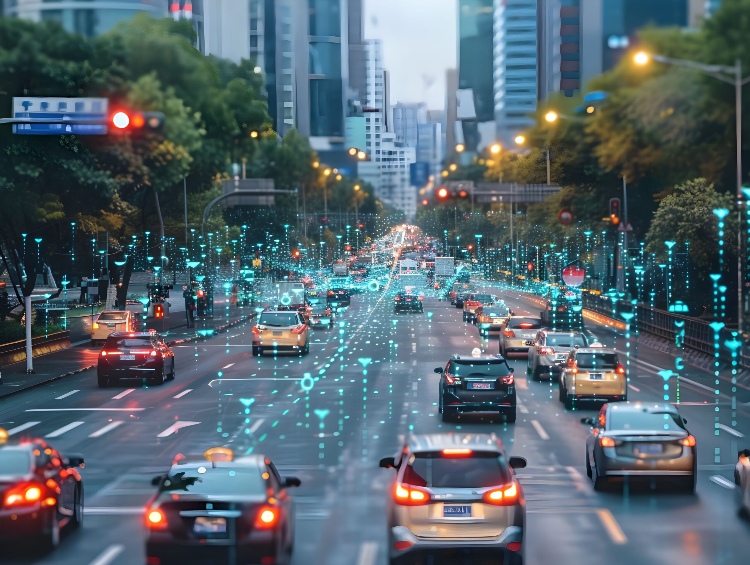
Modern road networks are no longer passive systems. Across urban corridors, multiple sources contribute to a continuous data ecosystem:
- Traffic cameras capturing vehicle counts, speeds, and violations
- Sensors measuring flow rates and detecting incidents
- GPS-enabled vehicles providing real-time location and movement data
- Mobile devices contributing anonymized mobility patterns
- Adaptive traffic signals collecting and responding to live traffic conditions
Together, these inputs create a dynamic, city-wide view of how traffic moves – enabling authorities to shift from static planning and reactive management toward informed, real-time decision-making.
AI: Turning Data Into Intelligence
Generating data is one thing. Making sense of it, at the speed and scale cities require, is another. This is where Artificial Intelligence becomes the critical differentiator, and where the road truly transforms from a physical asset into an intelligent platform.
Conventional road systems rely on fixed signal cycles and manual interventions. AI-enabled networks work differently. They learn from historical patterns, respond to real-time inputs, and improve over time, adapting to new development, shifting commute patterns, and seasonal changes without manual reconfiguration. The road is no longer just carrying the vehicle. It is watching it, learning from it, and making decisions because of it.
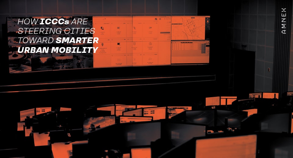
India’s policy direction reflects exactly this understanding, with the IndiaAI Mission explicitly identifying smart mobility and transportation as a priority sector, and national urban programs having already established the command and control infrastructure that AI systems need to function at scale. The data infrastructure is in place. The next phase is intelligence.
What This Enables for Cities
When AI is applied to road network data, the impact extends well beyond traffic signals.
Proactive congestion management. Rather than reacting to congestion after it forms, AI models anticipate it, identifying upstream patterns and adjusting signal coordination across corridors before delays materialize.
Faster incident response. Automated anomaly detection alerts response teams within seconds of a slowdown, stopped vehicle, or unusual crowd formation – reducing the gap between an incident and its resolution.
Smarter urban planning. Continuous mobility data gives planners an accurate, current picture of how the city moves – replacing periodic surveys with insights that are always up to date, and making infrastructure investment decisions more precise.
Environmental impact reduction. Optimized signal coordination reduces unnecessary idling, directly lowering fuel consumption and emissions – a meaningful lever for cities with air quality commitments.
Enhanced public safety in Action. Integrated surveillance and AI-powered detection enable automated enforcement of violations such as red light jumping, overspeeding, wrong-side driving, and vehicles with invalid or missing number plates – ensuring continuous, uninterrupted enforcement that no manual system can match.
This is already visible in deployments across India. Like in a huge city in one of the largest states of the western region, an integrated system spanning over 220 junctions combines adaptive signal control with Red Light Violation Detection, ANPR, and Speed Violation Detection. On one of the biggest expressway corridors, over 700 cameras and drone surveillance feed into a centralized command structure monitoring the highway continuously.
These are not isolated deployments. They represent a clear direction: cities and highway authorities moving toward integrated, data-driven infrastructure where traffic management and enforcement operate as one unified system.
SyncNex: Amnex’s Contribution to Intelligent Road Networks
Amnex’s SyncNex platform is built to operate at this intersection of data and AI – translating live road network inputs into coordinated, adaptive traffic management.
SyncNex analyzes traffic conditions across multiple intersections simultaneously, making real-time decisions that a fixed-cycle system simply cannot. If one road has a 2-kilometre queue while the opposite lane is nearly empty, the system detects the imbalance and reallocates green signal time to the busier route within seconds – without any manual intervention.
Beyond responding to current conditions, SyncNex anticipates future ones. It can predict where congestion will develop up to 15 minutes in advance and proactively deploy a green wave – a sequence of continuous green signals to keep traffic moving before a bottleneck forms. And if a particular corridor experiences congestion every Tuesday morning, the system learns that pattern and automatically adjusts signal timings for that day and time in subsequent weeks.
Through integration with centralized command and control infrastructure, every junction becomes part of a unified, intelligent network. When an emergency vehicle enters that network, SyncNex coordinates signals across the entire corridor ahead, clearing the path before the vehicle arrives, not after it stops.
This is what it means for a road to be a platform.
Conclusion
India’s roads are generating more data than ever before. The policy frameworks, physical infrastructure, and AI capabilities needed to act on that data are coming together simultaneously.
The cities that recognize roads not just as surfaces to maintain but as intelligent platforms to operate will be better positioned to manage growth, improve safety, and deliver sustainable urban mobility. Amnex is committed to supporting that transition through solutions like SyncNex and a broader focus on building the connected, data-driven infrastructure that India’s cities need.
You may also like